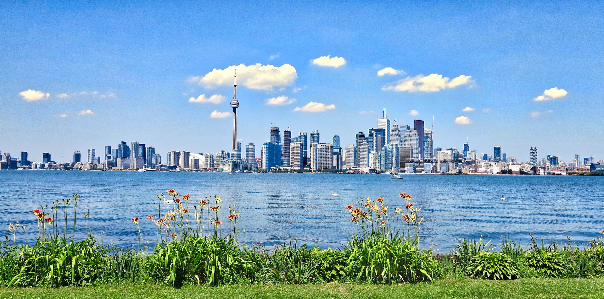
Welcome to the Water Atlas
This atlas seeks to re-examine and understand our relationship with water — not simply as a natural resource or a problem to be managed, but as a life-giving source, and a connector of people and of communities.
Examples of Features and Topics in the Atlas
This Atlas is a plural artifact — we want to see Toronto’s relationship with water from many perspectives. We welcome a range of creative approaches, and relevant themes might include:
Speculative Futures
Imagine a Toronto where buried rivers like Garrison Creek are daylighted, reshaping urban and social landscapes. What if buried rivers resurfaced, reshaping the city’s infrastructure and social spaces? How might Toronto look if it embraced, rather than constrained, its waterways? What if water were reintegrated into everyday city life, creating green-blue corridors and transforming neighborhoods?
Toronto’s Culture and History With Water
How have Toronto’s waterways shaped its culture and communities over centuries? How can we reconnect with this forgotten culture and history? How can these histories reemerge in the city’s future?
Water and disasters (for example: flooding)
What does a dystopian future of Toronto and its waterways look like?
Multimedia Visualizations
What does an interactive multimedia visualization (including audio, video, or animation) of Toronto and its waterways/creeks look like?
What You Will Gain as a Contributor
Public-Facing Opportunities
Exhibition at the School of the Environment in April 2025
The initial exhibition will be held at the University of Toronto’s School of the Environment (tentatively early-mid Summer 2025), providing an academic and public venue for your work to be showcased. This exhibition will attract visitors from Toronto’s environmental, academic, and artistic communities, giving you exposure to a diverse audience interested in both the creative and practical implications of water in urban life.
Public Facing Resource
The Atlas will be a digital collection of maps that will be available publicly online.
Future Exhibitions and Digital Showcases
We plan to expand to other public venues and digital platforms. As the Atlas evolves, our goal is to secure additional spaces for exhibiting, both in Toronto’s local community centers and public spaces and in online galleries.

Build Your Data and Mapping Skills
We will have coworking and tutorial sessions that will introduce you to new data tools and techniques, Python-based data storage infrastructures, including mapping software, and data visualization. You can expect to receive guidance from computer scientists, environmentalists and data specialists, who will be available to help you incorporate relevant data into your work.

Platform for Art-Science Collaboration
You will be encouraged to work in interdisciplinary groups (scientists, planners, artists, community organizers, etc.) and develop sections or pages of the atlas. We will be inviting a range of speakers to give presentations during the workshops on themes related to the atlas.

Collaborators
Call to Action
We invite contributions from all disciplines—whether you’re an artist, an urban planner, a community leader, or simply someone passionate about water—to help us co-create this evolving resource!
Artists, historians and designers
Community organizers and members
Scientists and environmental experts
Join Us in Shaping the Atlas
Please express interest by filling out the form below!
Commitment and Responsibilities
To ensure meaningful collaboration, we ask all members of the project to participate in a minimum of one workshop and one mapathon.
Monthly Workshops: Saturdays 2-5 PM
Structured time to collaborate, explore, prototype, and finalize atlas sections/pages in conversation with the project community!
Bi-Weekly Mapathons: Tuesdays 6-9 PM
Come hang out at the coworking sessions to share progress, receive feedback, and learn something new!
This structure doesn't work for you? No worries! Let us know so that we can brainstorm something that works! Email us at torontowateratlas@gmail.com